
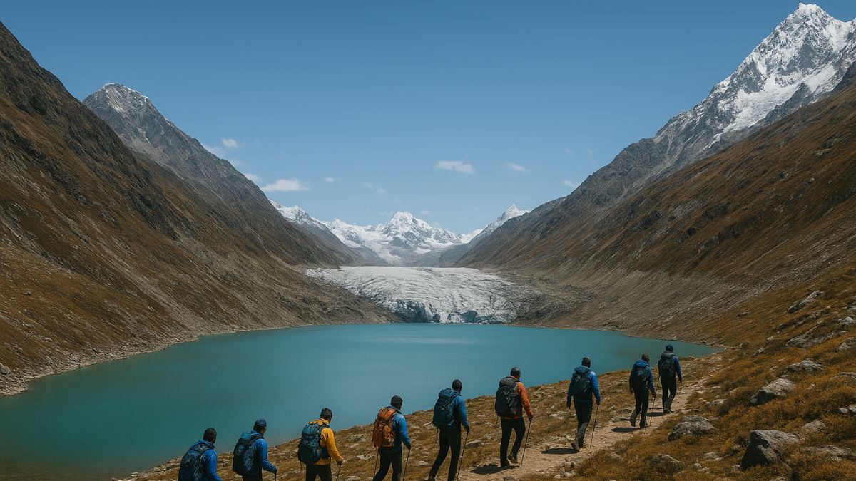
A major scientific expedition is underway in the high Himalayas of Sikkim to study dangerous glacial lakes and reduce the risk of Glacial Lake Outburst Floods (GLOFs)—sudden floods caused when water stored in a glacial lake bursts through its walls.
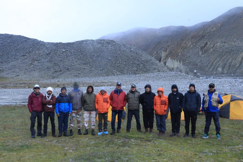
The expedition, which runs from 20th August to 10th September 2025, brings together over 35 experts from six top national institutes, six state government departments, the Indian Army, the Indo-Tibetan Border Police (ITBP), and the local community. A team from the Himachal Pradesh Disaster Management Authority has also joined for hands-on training.
Table of Contents
The scientists are using advanced technology such as:
- ERT (Electrical Resistivity Tomography): A method to study what lies beneath the ground by sending electric signals through soil and rock.
- Bathymetry: Measuring the depth of lakes.
- UAV LiDAR (Light Detection and Ranging): A drone-based laser mapping system that creates a 3D model of the land surface.
Their mission is to assess six high-risk glacial lakes, model possible flood scenarios, design protective structures, and create early warning systems to protect people living downstream.
Below is a day-wise account of their progress so far:
Expedition Day 1 – Science in Action, Resilience in Motion
Mangan, August 20
The team officially began its journey into the icy heights of North Sikkim. Equipped with high-tech tools, they set out to study six potentially dangerous lakes.
Key objectives for the expedition:
- Identify which glacial lakes are most risky.
- Use computer models to predict what might happen if a lake bursts.
- Suggest ways to lower the risk, such as building barriers or draining water.
- Plan an Early Warning System to alert downstream communities.
This mission is inspired by the tragic 2023 South Lhonak GLOF, which caused large-scale destruction.
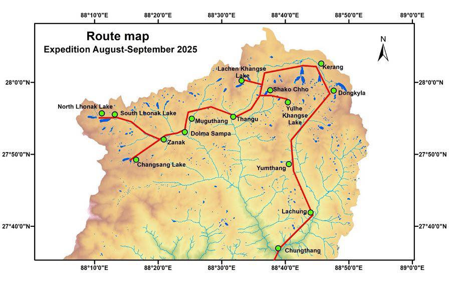
Expedition Day 2 – A Close Look at Khangpup Khangse and Chumilamcha Lakes
Mangan, August 21
On the second day, one group trekked to the Khangpup Khangse glacier, a 5 km-long ice mass covered in rocks and soil. Even though it is thinning quickly due to warming, the glacier still gushes powerful meltwater streams from its snout (mouth). Scientists recalled the June 2025 flood release from this glacier, underlining the urgent need for monitoring.
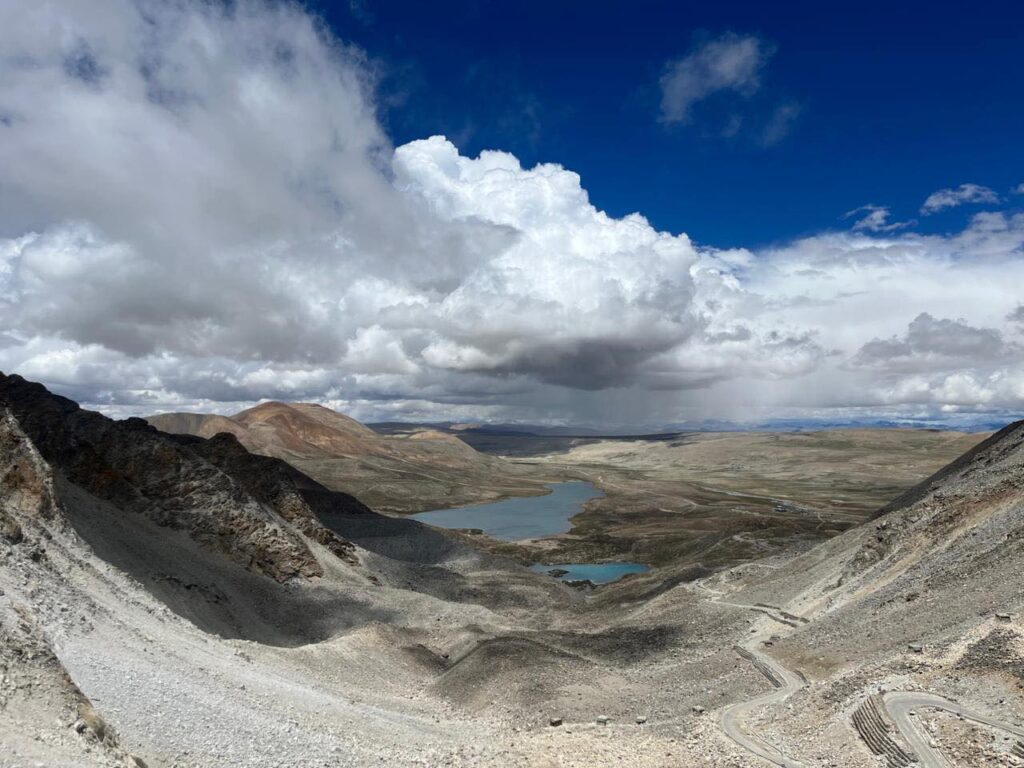
Another group reached the Chumilamcha glacial lake at 4800 m altitude. This lake is classified as Category-A high-risk because it holds nearly 5 million cubic meters of water below a 1 km-long hanging glacier (a steep, overhanging block of ice).
Findings:
- The side walls of the lake (lateral moraines made of rock and debris) seemed stable.
- The end wall (terminal moraine) showed scars from a past flood event, proving that the lake has burst before.
The day ended with the team camping at Khora La Army post before descending to Lachung.

Day 3 – Across Dongkha La to the Chombu Valley
Mangan, August 22
The third day involved crossing the towering Dongkha La Pass (18,200 ft) into the high plateau region of Sikkim.
Highlights:
- The team stopped at the holy Gurudongmar Lake to seek blessings.
- They climbed the Dorzila Summit (18,500 ft) and carried out a preliminary survey of Chombu Valley to check whether structures could be built there to reduce GLOF impacts.
- At Kareng, the team met ITBP officials to discuss communication networks—vital for designing early warning systems.
- The day concluded at Thangu Valley, where the team stayed at an Army transit camp.
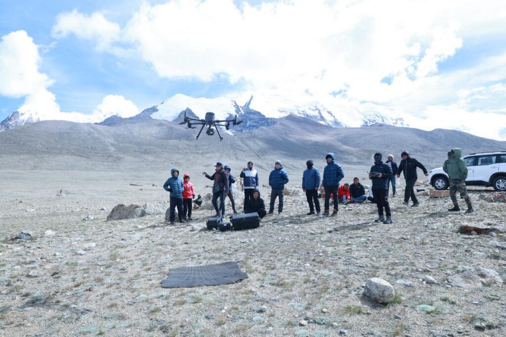
Day 4 – High-Tech Mapping at Shako Chho and Sora Funnel
Mangan, August 23
The team divided into two subgroups for specialized tasks:
🔹 Group 1 – Shako Chho Lake (4900 m):
- Planned to install solar-powered pumps to gradually reduce water levels and prevent sudden flooding.
- Conducted morphometric study (measuring the shape and size of the lake basin).
- Monitored the current water levels.
🔹 Group 2 – Sora Funnel, Chhombo Chu Valley:
- Used a UAV LiDAR drone to create a 3D terrain map, giving precise details of slopes, ridges, and valleys.
- Conducted an ERT study to check what lies underground, helping scientists understand if the land is weak or stable.
Both groups rejoined at Thangu Army Camp for the night. The plan for the next day is to ascend the Lungnak La Pass and enter the Lhonak Valley, one of the most critical areas for glacial lake risk assessment.
Days 6–8 – South Lhonak Studies (August 26–28)
From Muguthang, the team trekked to South Lhonak Lake (17,200 ft). At Chimigyader and the lake site, a ceremonial pooja was performed to invoke blessings for a safe mission.
At the lake, scientists carried out:
- Bathymetric mapping to study the lake’s depth and water volume
- Installation of pressure probes for continuous monitoring
- Sediment sampling to understand post-flood deposits after the 2023 disaster
Experts from Himachal Pradesh, NIH, CWC, DGRE, and GSI completed their objectives and departed after contributing valuable data.
Day 9 – Changsang Lake Studies (August 30)
The remaining team advanced to Changsang Lake (18,100 ft), where they:
- Conducted bathymetric mapping
- Carried out a morphometric analysis of the terminal moraine (the natural dam holding the lake) to assess its stability and hazard potential
Day 11 – Towards Yuleh Khangse Lake (September 1)
The team reached Thangu, preparing for further research at Yuleh Khangse Lake, located above Lashar Valley. This marks the continuation of a broader glaciological and hydrological research mission aimed at strengthening India’s early warning mechanisms against GLOFs and climate-induced hazards.
Why This Matters
This expedition is more than just a trek—it is a race against climate change. With Himalayan glaciers retreating rapidly, glacial lakes are growing unstable. Sudden GLOFs can cause massive destruction, as witnessed in 2023.
By combining modern science, traditional rituals, military support, and community participation, Sikkim is showing how collaborative action can safeguard vulnerable mountain communities.
Also Read: Sikkim New Route: The Shortest and Most Scenic Way to Explore North, South, and West Sikkim